
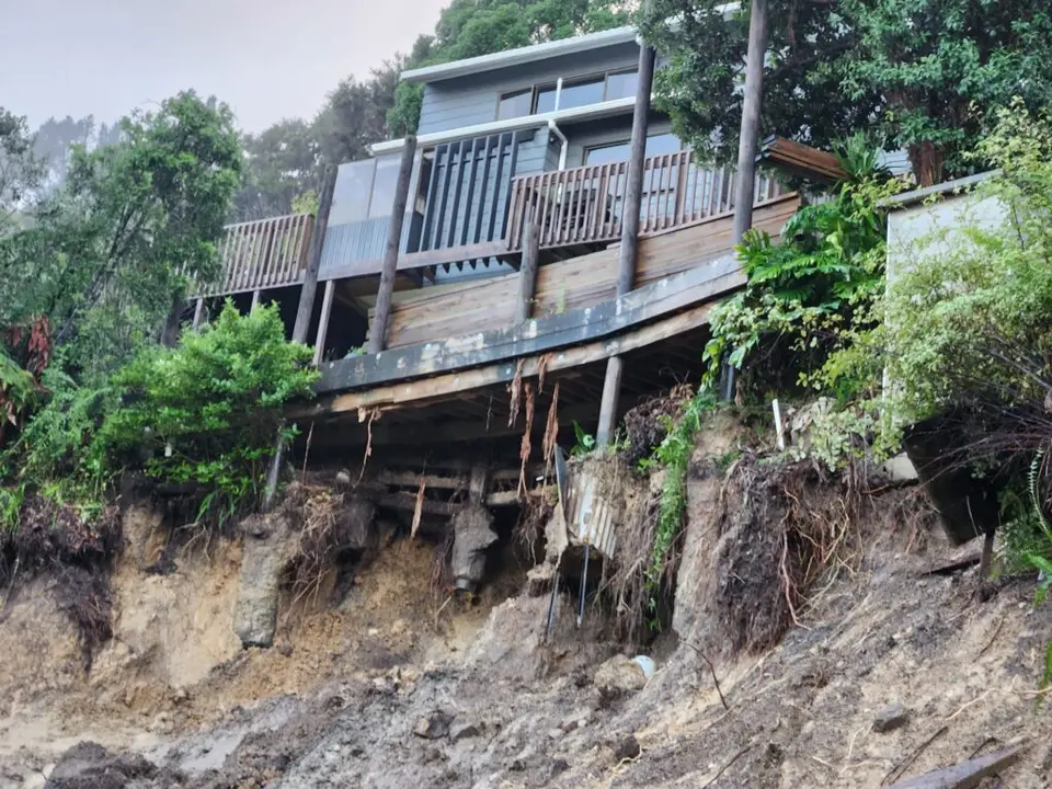
Owning a home near the water on the Coromandel has always carried a premium, but the insurance side of that equation is changing fast.
Councils across New Zealand are now publishing far more detail on natural hazards than ever before. Coastal inundation maps, sea level rise projections, overland flow paths and localised flood modelling are readily available online, often down to individual properties. Much of this is driven by central government requirements, by the aftermath of Cyclone Gabrielle and the Auckland floods, and by a growing expectation that councils should be upfront about what they know.
Insurers have been quick to use it. Where premiums were once spread fairly evenly across a region, most domestic insurers have now moved to risk based pricing. That means the premium reflects the hazard at the address, not the average for the district. Two houses a few streets apart can see very different renewals, and a property sitting inside a mapped inundation zone can face a sharp increase, a high excess for flood, or in some cases no offer of cover at all.
The problem is compounded by the shape of the market. Only a small number of insurers write house insurance in New Zealand, and several of them sit under the same ownership. When one declines a risk, the alternatives are limited, and brokers are increasingly having to work hard to find a home for properties in low lying coastal settlements.
For owners, the practical message is to understand what the council maps say about your property before you buy, build or renew, and to talk to your adviser early if a renewal looks difficult. Flood and sea inundation risk is now visible to everyone, including the people pricing your policy.
A property that was easy to insure five years ago may not be today, and that trend is unlikely to reverse.