Cyclone Cody to pass Coromandel well to the east but will still have an impact
Written by John Grant on January 15, 2022
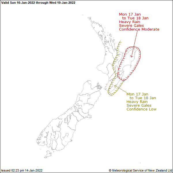
The expected impact of Cody, that at one stage looked to be heading for a direct hit on the Coromandel Bay of Plenty area, will be less now that it will pass well to the east of New Zealand. MetService has issued Severe Weather Watches for Eastern Bay of Plenty and Gisborne, Wairoa District but nothing for Coromandel.
The Coromandel coastal area though will see easterly 15 knot winds but 20 knots north of Slipper Island. Rising to southeast 25 knots gusting 35 knots but easterly 20 knots in the south this afternoon. Sea will become rough in the north this afternoon. Partly cloudy conditions with a few light showers, mainly in the north. There will be a northeast swell of 1.5 metres, rising to 2.5 metres.
For Sunday a southeasterly rising to 25 knots everywhere in the morning, and to 30 knots in the evening. Partly cloudy conditions, with a few showers. Northeast swell rising to 4 metres. Significant and hazardous waves expected, with the potential for hazardous rip currents.
Coastguards advice is if you are still out in a boat find a safe place to anchor and do not attempt to return until conditions improve next week.
For those expecting rain, the original forecasts that had 70mm forecast has now been adjusted to a few showers and 1 to 2mm of rain over the next 48 hours.
Unless there are further developments, this will be our last Cyclone Cody report.